Don't know how many of you use Google earth for research, but some of my general observations.
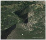
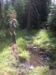
I do use it, but only for an overview of the country. I just got back from a scouting trip to a unit here in SW Colorado that I have never hunted or even been in before. I looked at Google Earth images and had some general impressions of the terrain and cover. I was surprised at how different it looked when I was actually there. From the images the country looked pretty open with lots of areas of no vegetation....not! The GE images were taken on April 14 and there was still a little snow in the shady north facing areas...not much, just a shading of white. When I was there this week, all the oak brush and aspens were leafed out and what looked like open cover, was really dense brush.
A total different perspective. Look at the date the image was take when you are on Google Earth and take that into consideration. Just sayin..............
Last edited:


