
My wife has recently decided that she wants to start hiking for exercise. I've always hiked and run on the numerous trails located in East TN, but never took the time to take pictures and relax. Normally I would throw on a pack and get to my destination as soon as I could. When there, I was like Clark Griswald at the Grand Canyon then I was back to the trailhead as soon as I could get there. Well, my wife has slowed me down enough to take some pictures so I can share the experience with others. I will admit that my wife is a trouper. She was afraid of the first 5 miler we did and now we normally do two 10 mile hikes a week.
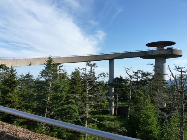
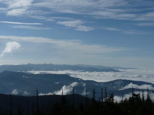
Silers Bald was a really cool hike. Our hike began with a quick assent to Clingmans Dome (Highest point in the Smoky Mountains). Then it was an out and back of 9.3 miles. The trail (Appalachian Trail) followed a ridge with awesome views the entire way. The actual bald is no longer a bald. Since the origination of the park, animals are no longer allowed to graze on the bald, so it has been over taken with trees and shrubs and is now just a rock along the trail.
Clingmans Dome
Smoky Mountains
Mount LeConte
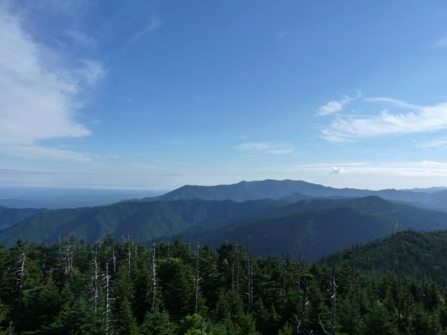
Silers Bald was a really cool hike. Our hike began with a quick assent to Clingmans Dome (Highest point in the Smoky Mountains). Then it was an out and back of 9.3 miles. The trail (Appalachian Trail) followed a ridge with awesome views the entire way. The actual bald is no longer a bald. Since the origination of the park, animals are no longer allowed to graze on the bald, so it has been over taken with trees and shrubs and is now just a rock along the trail.
Clingmans Dome

Smoky Mountains

Mount LeConte


