
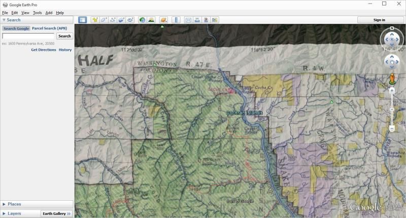
i can't figure out how to get the national forest overlay in green on google earth. Do u have to have google earth pro?
national forest boundaries on Google earth
- Thread starter Retterath
- Start date
on google earth i don't have that bar on the upper left that has file edit view and tools. why would that be. what am i doing wrong.
WapitiBob
Veteran member
Google Earth Pro is now free.
get it here:
http://www.google.com/earth/download/gep/agree.html Upper right of that page has instructions
Send an email to the GIS person for the Forest you're looking at and get the geo referenced visitor maps, then import into Pro.
get it here:
http://www.google.com/earth/download/gep/agree.html Upper right of that page has instructions
Send an email to the GIS person for the Forest you're looking at and get the geo referenced visitor maps, then import into Pro.
i downloaded it and when i open it, it says please enter your license key or purchase it now. Whats going on? any input
WapitiBob
Veteran member
"Google Earth Pro is now free.
get it here:
http://www.google.com/earth/download/gep/agree.html
Upper right of that page has instructions"
"Note: Google Earth Pro requires a license key. If you do not have a key, use your email address and the key GEPFREE to sign in. "
get it here:
http://www.google.com/earth/download/gep/agree.html
Upper right of that page has instructions"
"Note: Google Earth Pro requires a license key. If you do not have a key, use your email address and the key GEPFREE to sign in. "
WapitiBob
Veteran member
hoshour
Veteran member
To change the color of any polygon on Google Earth, right-click its listing in the My Places list at the left, choose Properties, then choose the Style tab. From there, it's pretty obvious.
not yet I'm going to try it again when i get home to my home computer, thanks for the info and i will let u know. thanks again for the help
packer58
Very Active Member
WapitiBob, thanks for the tip on GE Pro. I down loaded the pro version last night but have a question you might be able to answer, can I uninstall the older version of GE without loosing all my saved info that I've accumulated over the years?
WapitiBob
Veteran member
Don't know off the top of my head but you can and should save all that data to a USB drive. Just select my places and then save places as, to save everything in one file or select certain items and save those as a file.
micropterus79
Active Member
Also, you can get what are called .kmz files for almost all forests in the U.S. This includes administrative boundaries as well as surface ownership and several other layers. Go to the forest homepage (for example, Tonto National Forest's homepage) and find the maps/gis data link.
Its all free and you don't need google earth pro, these files/layers will automatically appear when you open google earth in your layers pane. Below is the link to find the stuff for Tonto forest but they likely have the same data for all forests (I know they do for tonto and prescott forests).
Hope this helps and good luck!
http://www.fs.usda.gov/wps/portal/fsinternet/!ut/p/c4/04_SB8K8xLLM9MSSzPy8xBz9CP0os3gjAwhwtDDw9_AI8zPyhQoY6BdkOyoCAGixyPg!/?ss=1103&navtype=BROWSEBYSUBJECT&cid=stelprdb5209307&navid=160130000000000&pnavid=160000000000000&position=Not Yet Determined.Html&ttype=detail&pname=Region 3- Geospatial Data
Last edited:
hoshour
Veteran member
KML and KMZ files will both open Google Earth Pro when you click on them.
When you load them, unless you've customized their appearance, you probably shouldn't save them in Google Earth Pro because they take up a lot of memory and too many of them will really slow down GE loading, which is a real memory-hogging program. Do create folders for them and keep the organized.
Doing it that way, you can delete the old Google Earth if you like and you won't lose your files, though I doubt you would lose them anyway.
hoshour
Veteran member
You might also want to check out esri.com http://www.arcgis.com/home/webmap/viewer.html?useExisting=1 which is much faster and easier to use, with some easy to find capabilities you might have a hard time locating or using in GE. ARC/GIS Online will also display kml and kmz overlays.
To get the most out of it, do the free registration to create an account for ARC/GIS Online.
You can also merge Excel or CSV tables to show as layers. You can even combine more than one table. And, doing a search after you log in may turn up some layers you hadn't thought of.
Warning! This can be very addictive and there are lots of overlays scattered around the net.
25contender
Veteran member
- Mar 20, 2013
- 1,638
- 90
I was just looking at The Pro version and I noticed that small parcels of private land inside of the national forest boundaries are not showing up. Anyone else notice this?
micropterus79
Active Member
I have not noticed this but that is why I use the .kmz files the forest service uses; I feel they are going to be the most accurate. Check out the geospatial data your state offers too. For example, AZ has a website called azacess.com or something along those lines that the state runs. It is an interactive online map that allows you to view surface ownership layers (private, fed, state, tribal, etc...) without even having to save any files you just have to be patient while the various layers you turn on and off update and load. If you have a good internet connection, should be no big deal. I have not looked but I suspect almost all states have something similar since GIS has gotten to be so common. Hope this helps.I was just looking at The Pro version and I noticed that small parcels of private land inside of the national forest boundaries are not showing up. Anyone else notice this?
NDHunter
Veteran member
Spend $12 or $15 or whatever it is and get a subscription to this site: http://www.gpshuntfish.com/
You can instantly bring up ALL the big game units in every state and overlay different maps on top of it such as topo, satellite, road maps, etc. Seriously, it is by far the best $15 I spend all year.
You can instantly bring up ALL the big game units in every state and overlay different maps on top of it such as topo, satellite, road maps, etc. Seriously, it is by far the best $15 I spend all year.
25contender
Veteran member
- Mar 20, 2013
- 1,638
- 90
Yes I have used the different GSI sites info and it is much better than the pro. I was comparing the pro version with boundaries to my OnXMaps chip.
I have not noticed this but that is why I use the .kmz files the forest service uses; I feel they are going to be the most accurate. Check out the geospatial data your state offers too. For example, AZ has a website called azacess.com or something along those lines that the state runs. It is an interactive online map that allows you to view surface ownership layers (private, fed, state, tribal, etc...) without even having to save any files you just have to be patient while the various layers you turn on and off update and load. If you have a good internet connection, should be no big deal. I have not looked but I suspect almost all states have something similar since GIS has gotten to be so common. Hope this helps.
WapitiBob
Veteran member
You can load more data types in Arcgis Explorer Desktop than any other free app with GE Pro right behind it. The other web based apps are way behind in their import abilities.
If you want forest boundaries you need to go the forest and get them. The "layers" in GE Pro are outdated.
If you want forest boundaries you need to go the forest and get them. The "layers" in GE Pro are outdated.
micropterus79
Active Member
So do you think the chips are wrong/inaccurate compared to GE pro? Those chips aren't cheap and I would expect them to be even better (at least updated more often).Yes I have used the different GSI sites info and it is much better than the pro. I was comparing the pro version with boundaries to my OnXMaps chip.